
Winchester Block Parcels
Public records can describe the parcels around a Winchester address, the owner field attached to a parcel, and the history of the block. They do not create a current household roster. The right source depends on the question: GIS establishes spatial adjacency, the assessor shows current assessment fields, the Registry follows transactions, and historical collections add an earlier street context. Read every result with its date and data limitation.
| Source | What It Shows About a Block | Access |
|---|---|---|
| Town GIS parcel map | Adjacent parcel boundaries, IDs, addresses, public layers, and owner or mailing fields in the identify panel | Free public map with update dates and disclaimer |
| Patriot street search | Current parcels, owner field, and property characteristics along a street | Free street-name search; not a household list |
| Registry deed and property search | Transfers, liens, plans, legal descriptions, and recorded parcel history | Free search, view, and download; coverage varies by record system |
| Resident lists and directories | Historical street order and names for listed ages and years | Winchester Public Library reference access; not complete or current |
| Municipal voter file | Specified public voter-list fields if a lawful requester receives a municipal file | Request, cost, and eligibility rules; state web form is individual only |
| Civic organization pages | Public mission, events, and contact routes | Town Local Organizations directory; no townwide association roster found |
Parcel ownership and occupancy are not interchangeable. A visible SITE_ADDR identifies land, while OWN_ADDR and OWN_CSZ are mailing fields in the GIS schema. A property can be exempt, open space, water, school, park, commercial, condominium, or split into sublots. Record the land-use setting before making a claim about nearby parcels.
Winchester GIS Records Steps
The Town of Winchester GIS is the spatial starting point. Select Parcel Map or Parcel Map with Aerial, zoom until parcel polygons and IDs are visible, identify the target parcel, then pan to polygons that touch it or lie across the street. The research did not verify a named public abutter, radius, buffer, or “show adjoiners” button, so map browsing and individual parcel selection are the documented method.
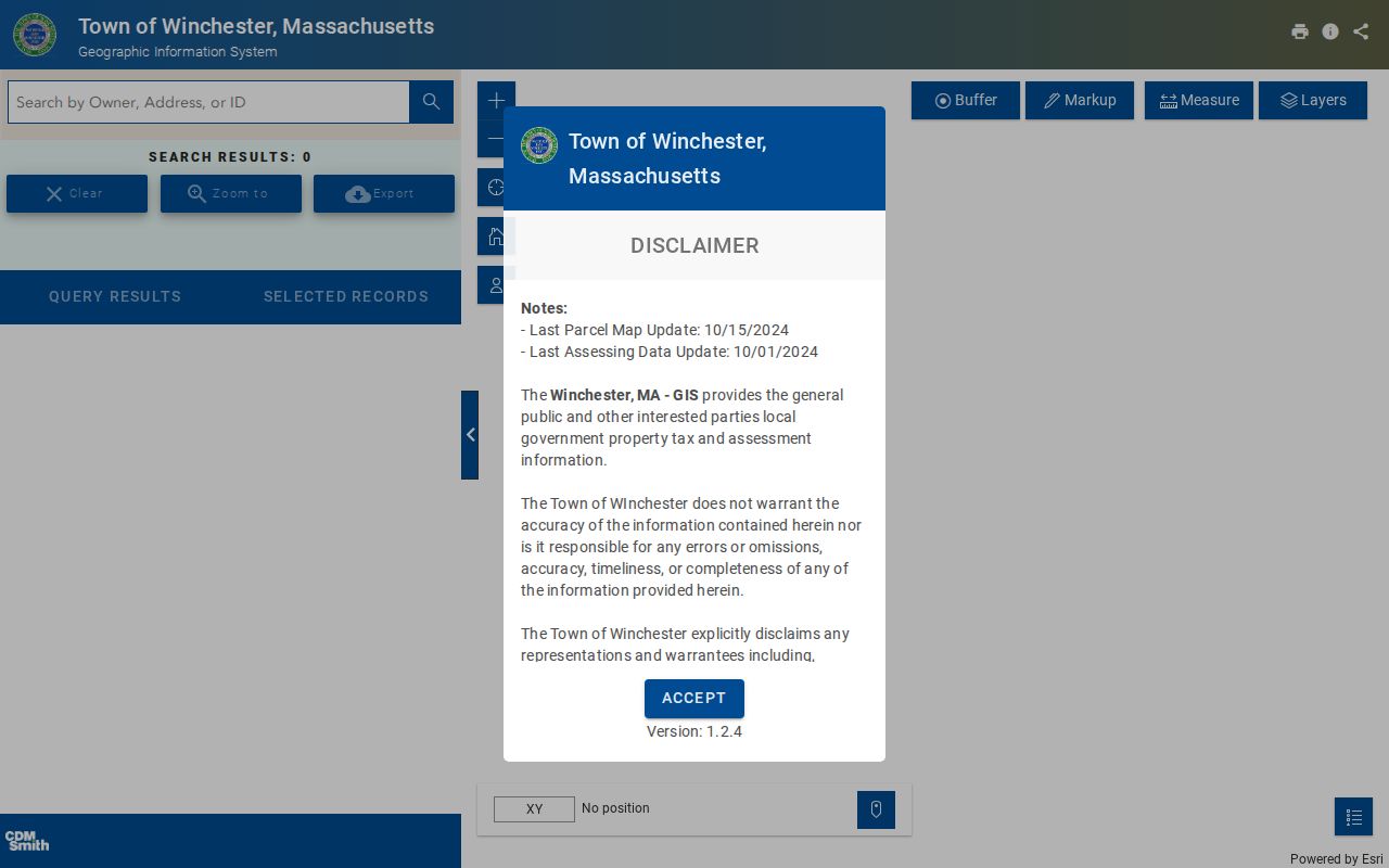
The parcel view can be paired with Parcel IDs, Parcel Addresses, Road Names, and Parcel Area layers. Aerial imagery helps recognize a structure, but it is not evidence of a permit, present occupancy, or a complete block list.
- Find the target address or parcel and note PROP_ID, SITE_ADDR, and any account identifier shown.
- Click each immediately touching parcel and each parcel across the public way, preserving the source date.
- Record OWNER1, OWN_ADDR, OWN_CSZ, and values only when the public panel displays them.
- Crosswalk the parcel identifier to Patriot if a current assessment record is needed; compare the legal description or plan before counting a split or merged parcel.
Winchester Neighbor Record Fields
GIS and assessor records answer complementary questions. The GIS shows which parcels are spatially adjacent and supplies its own public schema. Patriot Properties supports street and owner searching, then displays assessment fields. Neither source says every person associated with a parcel is a neighbor. A trust or entity owner may require separate searches of the entity and the named trustees before a recorded document is interpreted.
| Public field | What it identifies | How to use it carefully |
|---|---|---|
| PROP_ID / CAMA_ID | GIS property and account identifiers | Use them to crosswalk the map and assessor result; do not treat them as deed book and page. |
| SITE_ADDR / LOCATION | Physical parcel location | Use as the address anchor, while allowing for old spellings or number changes. |
| OWNER1 | Displayed current ownership field | Check date, record type, and deed before drawing a title conclusion. |
| OWN_ADDR / OWN_CSZ | Owner mailing information where shown | Keep separate from the site address; it is not proof of presence at the parcel. |
The GIS listed its parcel-map update as October 15, 2024 and assessing-data update as October 1, 2024 during the research inspection. The Town disclaims accuracy, timeliness, and completeness, so record the displayed date each time a Winchester block question depends on a map result.
Mapping Winchester Neighbors Nearby
A block audit is a small, source-led process: target address to target parcel, then adjacent parcels, then the relevant owner or deed record. The map should be read in both directions. Parcels that share a boundary can differ from properties across a public way, while a right-of-way, access strip, common area, or water feature can interrupt the apparent sequence. This is why parcel geometry matters before names are compared.
- Address → Town GIS target parcel → PROP_ID and SITE_ADDR.
- Target parcel → touching and across-street polygons → visible parcel IDs and land-use context.
- Parcel IDs → Patriot or Registry search → current assessment field or recorded transfer.
- Recorded transfer → plan, legal description, and date → a checked block-level conclusion.
For a complete named-street record chain, use the Winchester street directory. It handles whole-street address records; this method remains focused on the immediate block around a known property.
Winchester Voter File Boundaries
Massachusetts does not offer an ordinary state web search for all voters on a Winchester block. The individual registration form requires first name, last name, full date of birth, a five-digit ZIP, and agreement to the form terms. It returns status information for that person, not a neighborhood roster. A recent registration can take two to three weeks to appear, and a non-match does not show that someone never lived in town.
Local election officials maintain voter-registration forms, ballot applications, and voter lists. Specified public fields can include name, address, party, date of birth, active or inactive status, and voter ID, subject to request and production rules. Phone, e-mail, minors, and confidential voter information are protected. The statewide list is not an ordinary public download, so a block request must be directed to the actual municipal custodian under the applicable Massachusetts rules.
Winchester Neighbors Civic Contacts
Public community listings can help identify an organization’s purpose or contact route without turning its participants into a neighborhood roster. The Town’s official directory is the clearest umbrella source found. It lists civic and community organizations, while the Historical Society and Town Meeting materials offer local-history and civic context. No official townwide directory of neighborhood associations, block watches, or congregation rosters was located.
| Public civic resource | What it provides | Limits |
|---|---|---|
| Town Local Organizations | Contact and mission route for groups including League of Women Voters of Winchester, Network for Social Justice, En Ka Society, and Griffin Museum | Not a member or address list |
| Winchester Historical Society | Local-history access leads, Sanborn House, and research pointers | No public member directory |
| Town Meeting Members Association | Example of local civic infrastructure | Private and unincorporated; no public member list found |
The Town of Winchester Local Organizations directory is the appropriate public contact layer.
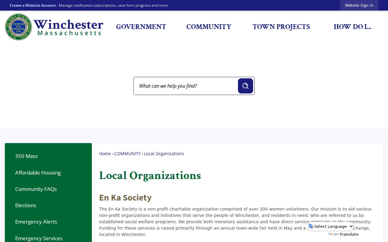
The directory supports contact and event research. It should not be used to infer membership, a person’s address, or a full list of Winchester neighbors.
Winchester Neighborhood Name Context
Neighborhood names can orient historical block research, but they do not replace a parcel boundary. Town history identifies West Side, East Side, Highlands, Plains, North End, Bowery, Wedgemere, and Flats. Baconville and Symmes Corner also appear as local-history terms. Winchester Center became a National Register District in 1987, and the North End has special value in research about the town’s African-American history.
Use these names alongside the street, lot, map, and date. The 1854 map includes streets such as Main, Washington, Forest, Cross, Pleasant, Pond, Bacon, Grove, Church, High, and Fruit, now Hutchinson. Older records may use Waterfield, South Woburn, Black Horse Village, or a parent-town name because Winchester incorporated in 1850.
Winchester Neighbor Source Comparison
Official sources show defined record fields, a custodian, and a date. Commercial neighbor-lookup categories often compile public records, marketing data, and resold address-history material. Their results can be stale, incorrectly merged, paywalled, or difficult to correct. For a Winchester block question, start with the map and primary record rather than treating a compiled result as proof.
| Official record path | Commercial compiled category | Practical difference |
|---|---|---|
| Town GIS, Patriot, Registry, Library, or Town Clerk | Commercial neighbor-lookup result | Official sources identify record type, scope, and custodian; compiled results may merge sources or lack a clear date. |
| Parcel, deed, or historical list tied to a specific address | Name or address profile | Primary records support checking a property fact; a profile is not proof of current presence or identity. |
Note: When a source matters, save the office, search terms, displayed date, and the particular field that supports the conclusion.
Winchester Neighbor Privacy Limits
Several kinds of information stay outside a public neighbor search. Parcel records do not enumerate non-owner household members, and a parcel owner may not be present at the site. The ordinary voter form is individual only. Confidential voter records and Massachusetts Address Confidentiality Program addresses are intentionally shielded. Motor-vehicle addresses are restricted, and utility customer information is not an ordinary public address source.
Records can also be incomplete or out of date. A neighboring polygon may be a public parcel, a common area, an access strip, or land that does not map to a single household. If a public result conflicts with a dated deed, parcel map, or official file, ask the actual custodian about the relevant record rather than attempting to fill the gap with assumptions.
Lawful use. Use Winchester neighbors research for civic context, local history, and personal safety awareness. Do not use public records to watch, harass, intimidate, or harm anyone.